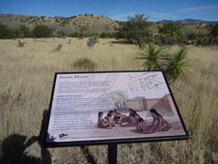
The Mimbres PeopleThe Mimbres people were a sub-group of the “Mogollon,” a name archaeologists give to early people who lived in the mountains, deserts, and valleys of southwestern New Mexico, Arizona, and northern Mexico. Initially, they were hunters and gatherers, but transitioned to a more settled lifestyle, becoming farmers and building villages.
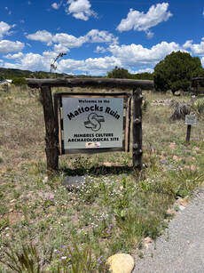
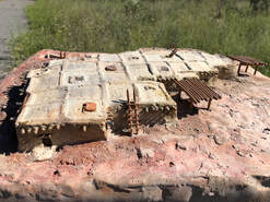
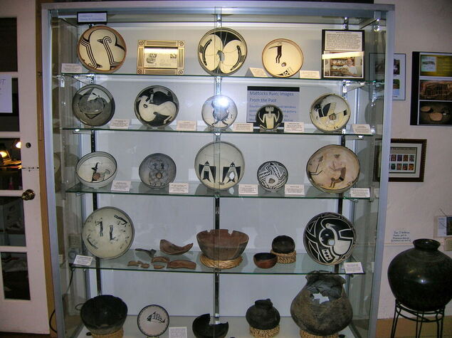
About 1000 years ago, a Mimbres pueblo was built at this site on top of an earlier pit-house village. (A pit-house is a building that is partly dug into the ground and covered by a roof.) During the Classic period, the Mimbres people produced beautiful black-on-white pottery that art historians and archaeologists consider the most distinctive prehistoric pottery in North America. Items recovered from the Mattocks archaeological site are recognized worldwide as some of the finest examples of Classic Mimbres artwork. Historically, owners of the property have welcomed visiting archaeologists. The Mattocks Site is uniquely accessible, lying one block off NM Hwy 35, has helped it to become a center of extensive research for nearly 100 years. The result has been a greater understanding of these remarkable people and their culture. |
The Mattocks Archaeological Site
Beginning with a site visit in 1883 by Adolph Bandelier (one of the 19th century’s most important and influential archaeologists) through the ownership and research of the Mimbres Foundation in the 1970s, the ruin has long attracted the interest of archaeologists. In 1929-30, the first scientific excavation was led by Paul Nesbitt of the Logan Museum of Beloit College in Wisconsin. The sub-surface rights of the site are now managed by Archaeology Southwest of Tucson.
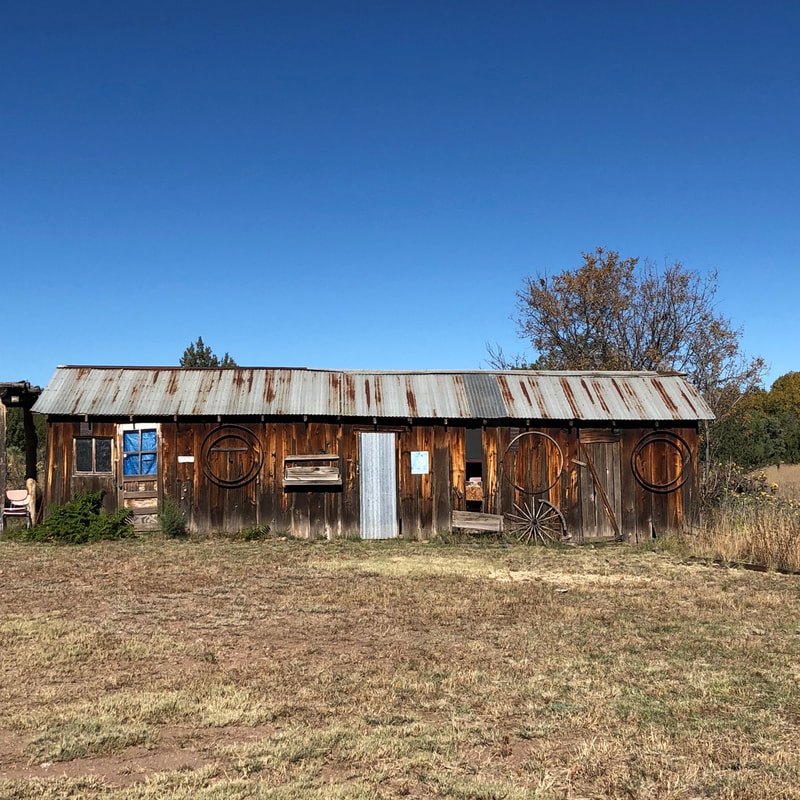
If walls could talk…As you visit the MCHS, use your stay as a chance to walk through the past. Imagine what life was like for the people who built pueblo rooms of stone and the homestead houses of adobe.
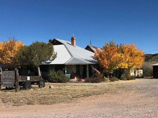
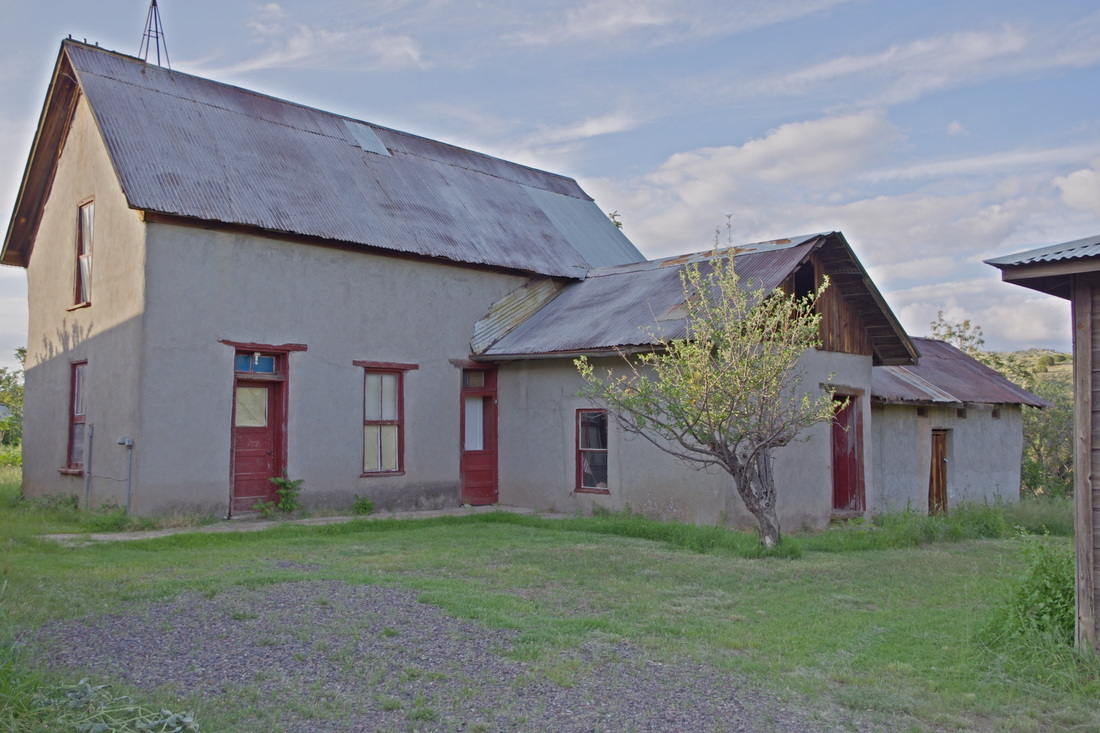
The Wood House is the older of the two adobe houses on the property and dates to 1881. Built during the Apache Wars, it is one of the few surviving structures of that era in the Mimbres Valley. Dr. Granville N. Wood, a physician, planted an orchard of 150 apple, peach, cherry, pear, apricot and plum trees. The property also included 40 acres of alfalfa, a large vegetable garden and pasture for livestock. Dr. Wood sold his homestead to Robert Floyd in 1887. In 1987 it was listed on the National Register of Historic Places. Robert Floyd died in 1889, leaving the property to his wife Kate. Mrs. Floyd married Benjamin Franklin Gooch at the end of 1889. Gooch quickly became a successful businessman, profiting from the produce of fruit trees, alfalfa fields, garden, and livestock. Gooch moved his family to Silver City in 1901, where he opened a produce and meat market. He leased part of his Mimbres property to J.D. Ross. During a confrontation in 1902 Mr. Gooch shot and killed Mr. Ross. Gooch escaped from the Silver City jail three times! After the first escape and return to Silver City, the judge declared Benjamin insane. Gooch disappeared after his third escape for good in 1917. The property was sold in 1922 to the Mattocks family. They welcomed visiting archaeologists and permitting some excavation. In time, the site became known as the Mattocks Ruin. The Imogen F. Wilson Education Foundation acquired the MCHS property from the Silver City Museum in 2011. It now is the site steward of the Mattocks Archaeological Site and owns the two adjoining historical Mimbres Valley ranch houses from the 1880s. The Gooch House is home to the Mimbres Museum. Exhibit space is dedicated to the Mimbres Culture and to the later settlement and multicultural development of the Mimbres Valley. The museum features a gift shop, has wheelchair access, picnic tables and restroom facilities. Visitors also have the rare opportunity to walk through one of the only Territorial adobe houses of its era left standing and tour the renovated and reproduced doctor's office. |
The History of the Houses
There have been many owners of the two territorial homes on the site. We are collecting history on the individuals who lived here. If you have knowledge of any of these people, please share with us.
- Dr. Granville N. Wood and family 1882
- Robert Floyd (Abbie, Kate) 1887
- Benjamin Franklin Gooch
- William F. Moore (Anna)
- John Hale Bragaw
- Charles N. Harris
- Otto Heuchling
- Bert Mattocks 1921
- McAnally 1970s
- Mimbres Foundation 2006
- Silver City Museum Society 2006
- Imogen F Wilson Education Foundation, Maclean Wilson gifted property 2011
By Ruben Leyva
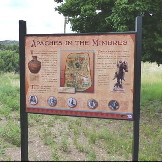
Mimbres and Gila Apache Kin July 6, 2024 Grant County Beat.org
My Ph.D. program research centers on the rhetorics of Apache identity and asks, "What is an Apache?" I can confidently tell you Apache bands were fluid and their interrelationships complex. Bands developed from marriages with other groups and the need for traditional and non-traditional resources. The Apache traveled seasonally for plant foods, wild game, and rations. Nation-state government interference was also responsible for the Apache movement. This story illustrates how the same Apache band was documented in multiple locations and assigned different band identifiers, sometimes according to landmarks.
In 1790, the bands of Gila Apache, under the leadership of Jasquienelté, agreed to peace with Spanish Commander-in-Chief Ugarte's administration. My 6th-great grandfather, Josef Leyva (Tanchintijué), accompanied Apache leaders Jasquenelté and Campanita to Santa Fe to meet Governor Concha in 1792.
Before relocating to Sabinal, Concha gave the leaders gifts and directed them to gather their people from the Black Range and Greater Gila. Concha promised to meet with the leaders the following month. The Apache committed to peacefully engaging in agriculture and raising livestock in the farming community at Sabinal. Though the new Apache farming community did not last, they maintained their knowledge of agrarianism and husbandry after abandoning Sabinal in 1794.
My family returned to their traditional mountainous homelands and subsistence economy. Spanish officials' intent on ruling the region continued to coax Apache leaders to peace at presidios. The late author, William B. Griffen, registered Josef's presence in 1803 at the San Elizario Presidio in modern El Paso County, Texas. From 1810 to 1812, Josef received tools and successfully farmed near the peace establishment in Janos, Chihuahua, where he and others received a land grant to farm. Josef's daughter, Rita Leyva, nicknamed Onorata, had a son, Josef Ignacio Leyva, whose Apache name was Nachesoa - my 4th Great-grandfather. In July 1815, Josécito married El Compa's daughter, Soledad Pisago (documented as Soledad Ydalgo in Spanish records).
In 1816, Josef was recorded as living in Bavispe, Sonora. This is an excellent example of the unique social structure within matrilocal Apache society, where the groom and sometimes the groom's family relocated to their new relatives. In this case, Josef was documented where Soledad's Blue Mountain Apache relatives lived. She also strongly connected with her brother, Pisago Cabezon's community, who lived near the Gila and San Francisco Rivers in New Mexico. The Pisagos joined through marriage with the Compa family, identified as Blue Mountain Apache, before and after peace was dissolved with Mexican officials, leading to the family's departure from Janos.
In 1837, my Leyva family became enigmatic following the killing of the prominent Compa family leaders in Hidalgo County. Josécito lived along the Rio Grande River between the Black Range and the San Andres Mountains, where various agave species were gathered. His territory extended from Socorro south to El Paso. Using Griffen's research, the leader Cibolito's territory, the "Doña Ana (New Mexico) Area," adjoined Josécito's. Griffen groups Josécito's parents, Rita and Fermin Rede, in Utmost Good Faith with Cibolito's band. In his interview with the late Eve Ball on February 9, 1972, Percy Bigmouth, a Mescalero Apache, confirmed the identity of my family's "Blue Mountain Band," our territory, and our affiliation with the Mimbres Apache.
Despite the passing years, we exist as an Apache band without a reservation or a seat at the table when decisions are made about our homelands. For this reason, the Gila Apache, also known as the Chihene Nde Nation, where I am a tribal historian living in Las Cruces, has petitioned the Bureau of Indian Affairs for acknowledgment. For details, visit https://www.bia.gov/as-ia/ofa/404-chnnnm-nm
